A pair of School of Earth and Atmospheric Sciences researchers will be spending the next couple of years studying the cryosphere, the portion of the Earth made up primarily of ice, snow, and frozen ground. The ultimate goal: update the impact climate change has on the cryosphere and rising sea levels.
One of the studies, an attempt to determine just how much Greenland’s glaciers contribute to that sea level rise, marks assistant professor Winnie Chu’s first research project as a new Georgia Tech faculty member. For the other researcher, assistant professor Alex Robel, the grant offers a chance to help scientists use uncertainty to their advantage when building models for future ice sheet loss.
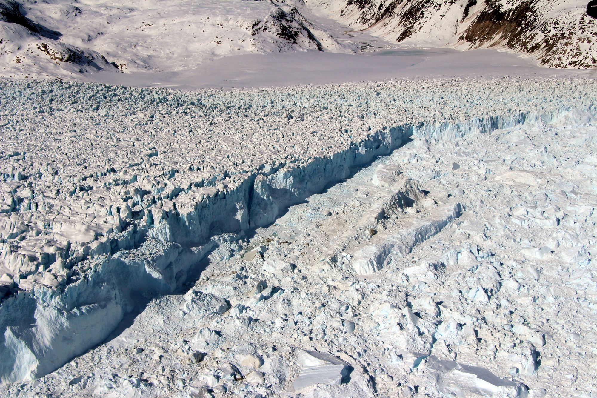
The two researchers were awarded Heising-Simons Foundation grants totaling nearly $1.5 million. Chu is the lead principal investigator for “Follow the Water: Hydrology of Helheim Glacier,” a collaborative effort involving scientists from Dartmouth College and the University of Buffalo. “It’s part of a larger, multi-institution and multi-million dollar HSF initiative to target Helheim Glacier in East Greenland, a critical site for investigating the impact of a warming climate on Greenland’s mass loss,” Chu says.
Robel’s grant, on which he serves as the lead investigator, includes colleagues at the California Institute of Technology and NASA’s Jet Propulsion Laboratory. “The Stochastic Ice Sheet Project: A New Approach to Sea Level Projections and Attribution of Past Ice Sheet Change” will also eventually be used to examine Greenland ice. But Robel says his three-year project will also develop the tools needed to study sea level rise in other parts of the cryosphere.
“By building a new kind of computational model of ice sheet flow and melt, we can develop projections of sea level rise that include the full range of sea level possibilities, which coastal communities can then use to plan for impacts to their infrastructure and livelihoods,” Robel says.
As Greenland ice melts, where does the water go?
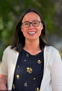
Chu, who came to Georgia Tech from the Department of Geophysics at Stanford University, says Greenland is currently the fastest-accelerating source of global sea level rise. More than half of that mass loss is driven by melting on top of the ice sheet (another name for a glacial land ice mass that covers at least 50,000 km, or 20,000 square miles.)
“When Greenland undergoes melting, it generates meltwater that forms surface lakes or rivers. Some of that water can percolate through the snow and become trapped within the firn, or compacted snow layer. The latter case is what happens at Helheim Glacier,” Chu says, describing a Lake Tahoe-sized mass of water trapped within the top 10 to 30 meters of the glacier.
This reservoir, known as the firn aquifer, embedded within the glacier creates a complex interaction between ice flow and meltwater, along with a great opportunity to study where that water eventually ends up. Depending on how frequent and how fast this embedded aquifer can release water to the base of the ice sheet, it can either add to Greenland’s contribution to sea level rise, or the aquifer can delay that impact for years to decades later when it finally releases this water.
“Understanding the pathways by which meltwater takes from its inception to its discharge at the ice front is, therefore, essential to forecasting Greenland contributions to global sea level,” Chu says.
Georgia Tech’s role involves developing and applying ice-penetrating radar techniques to look deeper into the glacier and its subsurface water storage. Chu plans to travel to Helheim Glacier in the summers of 2021 and 2022 to set up a network of radar sounding systems and magnetic resonance imaging technology (MRI). The latest ground-penetrating radar system promises to be a “game changer,” she says: the Autonomous Phase-sensitive Radio-Echo Sounders (ApRES). “Unlike the conventional radar system that only provides a single snapshot image of the ice sheet, this new system can take multiple images every minutes, enabling us to build a time series to investigate how the ice sheet subsurface changes,” she says.
Those readings, combined with satellite remote sensing and theoretical modeling, will show how the firn aquifer “interacts with the larger hydrologic systems, and investigate the role that hydrology plays on Helheim glacier dynamics.”
The Stochastic Ice Sheet Project explained
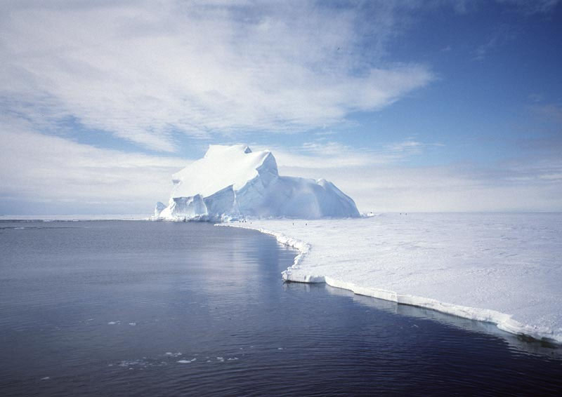
Earth’s two largest ice sheets cover Greenland and Antarctica, according to the National Snow and Ice Data Center, and they hold 99 percent of the planet’s freshwater ice. That’s one of the more important reasons to study the cryosphere, Robel says.
“As ice and snow melt, the living conditions that have existed in polar and mountain regions for thousands of years change in ways that are difficult to adapt to, with adverse consequences for local communities and ecosystems. For those of us living in the rest of the world, melting of glacier and ice sheets cause sea level rise and impacts on coastal communities.”
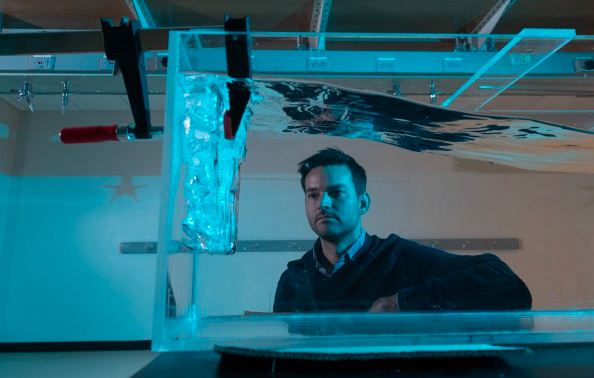
Robel’s Stochastic Ice Sheet Project has the difficult task of quantifying the wide range of scenarios for future sea level rise due to ice sheet melting. A solution he and his team will pursue is to build in randomness, or uncertainty, of the nature of the possible outcomes into their computational model.
“The goal for this project in particular is to build a new kind of ice sheet model, specifically a stochastic ice sheet model, which has never been built on this scale before,” Robel says.
In the stochastic (or random) ice sheet model, researchers will replace many of the least well-understood ice factors -- fractures, meltwater flow on and under the ice, interactions with the ocean and atmosphere -- with random fluctuations which simulates the statistics of these factors, determined from real-world measurements, without having to simulate every tiny detail. “The result is a model that is built with an eye towards quantifying the uncertainty in our future projections of ice sheet melt and sea level rise,” Robel says.
As he and his colleagues propose in their project summary: “By re-conceptualizing the purpose and structure of ice sheet models, we will be able to simulate many possible scenarios for past and future ice sheet change to answer two key scientific questions: What is the uncertainty in projections of future sea level rise from ice sheet melt due to natural fluctuations in climate and ice sheet processes? And to what extent can we attribute recent ice sheet melt to climate change?”
Follow the…sea turtles?
Robel had an early experience with baking in an uncertainty principle into his research. It was as a Duke University undergraduate, where current Dean of the College of Sciences Susan Lozier – then Ronie-Richelle Garcia-Johnson Professor of Earth and Ocean Sciences in the Nicholas School of the Environment at Duke -- was his research advisor (and a co-author on his first published paper.)
Robel and Lozier collaborated on a solution involving the migration of sea turtles. “The work I did with her was focused on developing a method for analyzing sea turtle-mounted GPS tracks,” he recalls, “to distinguish periods when the turtles were floating in the current, from periods when the turtles actively swim to forage for food.”
This required a method to quantify the uncertainty inherent in satellite measurements of ocean and wind speeds, such as how to distinguish turtle foraging from errors in the satellite-derived currents, he says.
Fast forward to his current Heising-Simons project. “The propagation of uncertainty in geophysical fluid systems has been a recurring theme since working with Dean Lozier, even though I’ve shifted my focus towards understanding ice sheet melt and projections of future sea level rise.
“She was a formative mentor in my scientific career, guiding me in developing a project from conception to completion, and navigating a scientific career. Dean Lozier has continued to be a wonderful mentor and source of advice and support over the last 10 years,” Robel says.
These research grants are funded by the Heising-Simons Foundation, a family foundation based in Los Altos and San Francisco, California. According to its website, “the Foundation works with its many partners to advance sustainable solutions in climate and clean energy, enable groundbreaking research in science, enhance the education of our youngest learners, and support human rights for all people.”
For More Information Contact
Renay San Miguel
Communications Officer
College of Sciences
404-894-5209

